Industry
Part of Car-free rail destinations: the parts worth your attention
How Local Businesses Support Car-Free Rail Destinations
How local businesses in U.S. station towns support car-free rail destinations: named districts, transit links, and what to check before you book.
Car-free rail destinations work because of what sits within a walk of the platform: the market, the diner that will hold a bag while you eat. Local businesses shape a car-free tourism day more than any timetable does, and this guide covers how they support arrivals by train — and how to tell, before you book, whether a station town will work on foot. It names U.S. districts where the business core begins at the platform, the transit agencies that close the last mile, and the checks worth making before you commit.
What support looks like when you step off
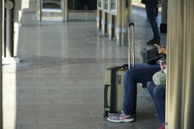
The services that matter to a traveler without a car are unglamorous: somewhere to leave a bag between check-out and departure, a shop for what you forgot, a kitchen open when your train lands, and staff who give directions in minutes on foot instead of turns by car. A bike rack, or simply permission to bring a folding bike inside, decides whether a cyclist stops or rides past.
Some stations are business districts in themselves. Denver Union Station was rebuilt around shops, restaurants and a hotel — the Crawford Hotel occupies the upper floors — with the RTD transit hub on the same block. Chicago Union Station holds food and retail around its Great Hall, and Washington Union Station's head house does the same, so a traveler with a two-hour connection is not stranded. Most U.S. stations are not like this; plenty are a platform and a parking lot, and everything then depends on the town around them.
Publish accurate walking details
- Measure the walk yourself, ordinary pace, with a bag
- Publish the real number of minutes
- Note whether sidewalks run the whole way
- Mention the one junction that confuses people
Treat any advertised walking time as an estimate. Ask which entrance and which street it measures from, and check the route for sidewalks and crossings before you build a meal around it.
Station towns where the business core is at the platform
In these towns the commercial district starts close to the tracks:
- Glenwood Springs, Colorado(California Zephyr): the depot sits in the downtown grid, a walk from the hot springs pool and the restaurant blocks along Grand Avenue.
- Flagstaff, Arizona(Southwest Chief): the station opens onto the historic Route 66 downtown.
- Whitefish, Montana(Empire Builder): the depot is at the edge of downtown, near the Central Avenue shops.
- Santa Barbara, California(Pacific Surfliner, Coast Starlight): the depot sits at the lower end of State Street, between downtown and the waterfront.
- San Luis Obispo, California(Pacific Surfliner): the station is downtown, near Mission Plaza.
- Davis, California(Capitol Corridor): the platform is about a block from the downtown restaurant strip.
- Kalamazoo, Michigan(Wolverine): the transportation center is a few blocks from the Kalamazoo Mall, the downtown pedestrian street.
- Hudson, New York(Empire Service): the station sits at the foot of Warren Street, the town's commercial spine.
- Freeport, Maine(Downeaster): the platform is beside the L.L. Bean flagship store and downtown's shop blocks.
- Brunswick, Maine(Downeaster): the station sits in the downtown grid near Maine Street.
- Brattleboro, Vermont(Vermonter): the station is a short walk from Main Street.
- Hermann, Missouri(Missouri River Runner): the depot is in the middle of a small town whose shops and tasting rooms fill the surrounding streets.
How far you walk depends on your luggage and on which entrance you use, so confirm the route rather than the map pin.
The last mile: transit that connects station to district
Where the core is not walkable, a local line usually is.
- Seattle:Sound Transit's Link light rail stops a block from King Street Station, and King County Metro buses serve the neighborhood.
- Portland, Oregon:TriMet's MAX light rail and buses serve Union Station.
- Sacramento:Sacramento Regional Transit light rail calls at Sacramento Valley Station.
- Kansas City:the KC Streetcar stops at Union Station.
- New Orleans:the RTA streetcar runs from Union Passenger Terminal up Loyola Avenue toward Canal Street.
- San Diego:Metropolitan Transit System trolley service stops beside the Santa Fe Depot.
- Washington, D.C.:WMATA's Red Line links Union Station to downtown.
- Philadelphia:SEPTA's regional rail, subway and trolley lines call at 30th Street Station.
- Boston:MBTA Orange and Green Line trains stop at North Station, the Downeaster's Boston terminal.
- Chicago:CTA stations sit within a few blocks of Union Station.
- Los Angeles:Metro's B and D subway lines and A and E light rail lines meet at Union Station.
Read the agency's timetable for your own travel day instead of assuming a weekday pattern.
Check the days, not just the address
A district that works at Saturday lunchtime can look different on a Sunday morning or a Monday. Look up the hours each business publishes for your exact dates, on its own listing or by phone, rather than trusting a map pin or your memory of an earlier trip. If your return train leaves before noon, do the meal and the errand the day before.
Local transit thins out on Sundays and holidays too, so check the timetable for the day you ride.
Sunday trade checklist
- Open earlier Sunday than Saturday if first train is early
- State Sunday hours online and keep them current
- Offer something portable for customers about to board
- Hold bags between checkout and departure
Before you book
- Read the train timetable for your dates and note the last practical return, not only the first arrival; this guide to reading an Amtrak timetable explains the format.
- Write down the station's street address and the entrance you will use, then compare it with the address of every business you plan to visit.
- Look for a district map published by the town's business association or by a Main Street America program; those maps usually show the business core in relation to the station.
- If the walk is long, check the local transit agency's route and its weekend and holiday schedule.
- Ask your hotel about luggage storage on arrival and departure day, and about the walk from the platform — where to stay near a station covers the questions that matter.
- Ask about bikes if you plan to ride, since Amtrak's carry-on and bike rules differ by route.
- Keep one backup for the meal that matters most.
Work through the booking questions car-free travelers ask before you commit.